Mission
Deliver accurate, reliable, and practical survey and GIS solutions for infrastructure projects.

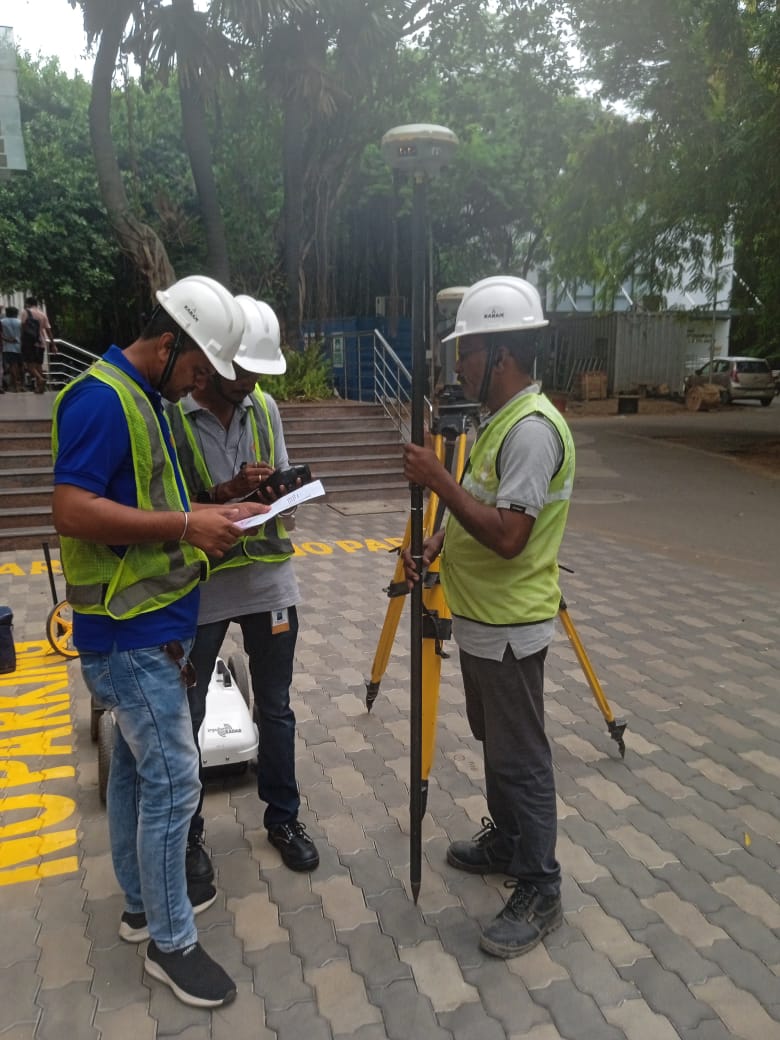
SAM Global Infra provides survey and mapping services for infrastructure and utility projects. Our work covers GPR utility mapping, DGPS survey, gas pipeline GIS mapping, landbase creation, corridor mapping, digitization, and final GIS delivery support.
We focus on practical execution: field measurements, geo-coordinate capture, data processing, asset digitization, and structured outputs for client projects.
Our approach combines on-site experience with GIS tools and software workflows to create accurate, useful, and project-ready data.
Deliver accurate, reliable, and practical survey and GIS solutions for infrastructure projects.
Become a trusted field and digital partner for utility mapping, pipeline GIS, and technical survey work.
Strong execution, quality output, safety awareness, and client-focused project support.