
We provide advanced services in GIS, Survey, Utility Mapping, DGPS, GPR, Gas & Telecom, Civil & Infrastructure, Design / CAD Mapping, BIM Modeling, Water Network, and Information Technology solutions.
Utility mapping, spatial integration, landbase preparation, digital mapping, geodatabase creation, and GIS-ready final delivery solutions.
Know More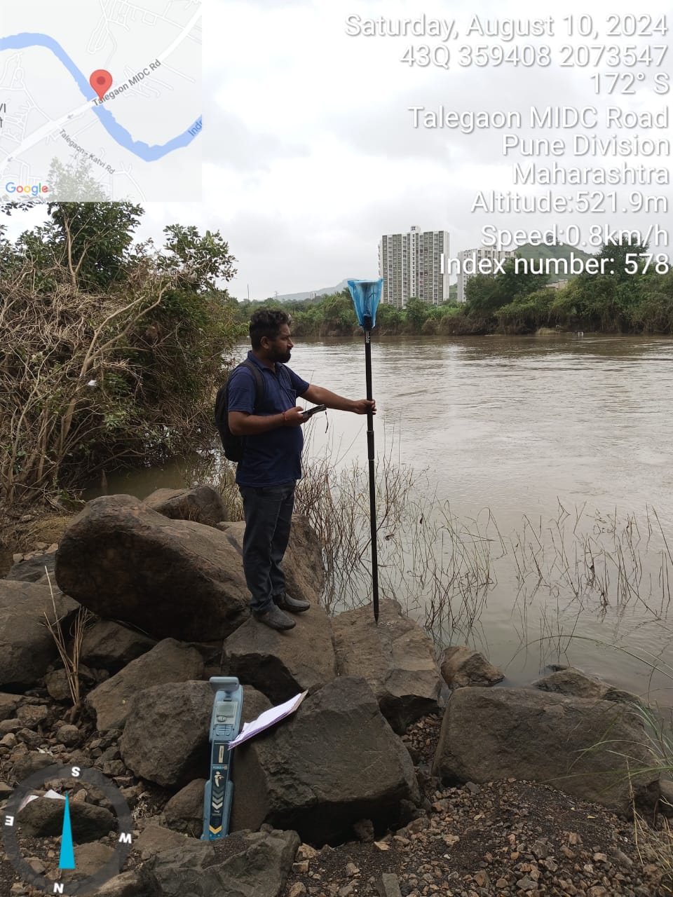
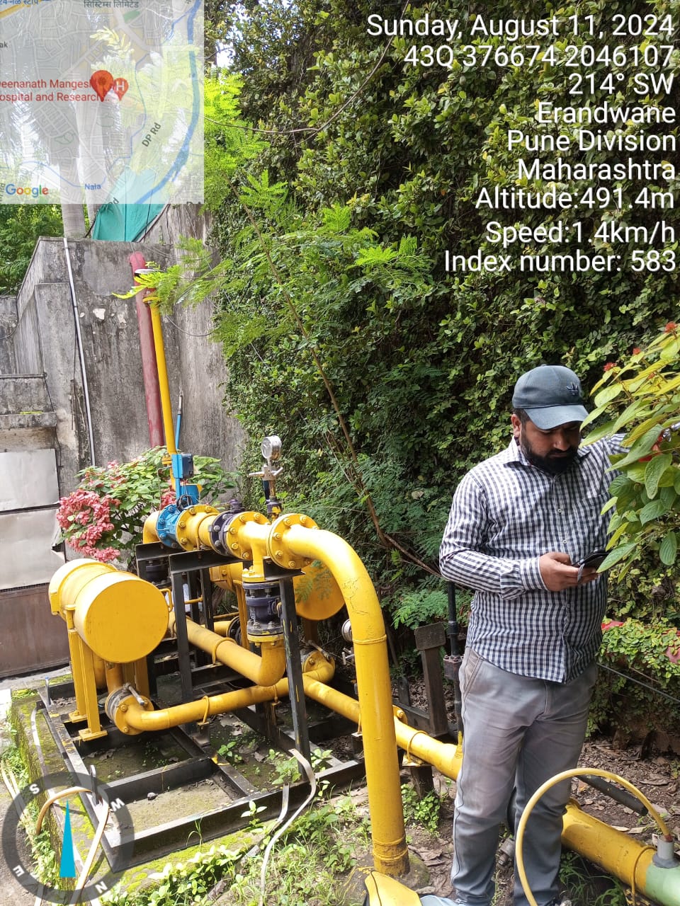
Gas pipeline survey, telecom utility support, OFC route mapping, underground utility identification, and corridor-based planning.
Know More
Complete civil execution including excavation, trenching, road cutting, pipeline laying support, reinstatement, site development, and utility corridor work for gas, telecom, water, and infrastructure projects.
Know More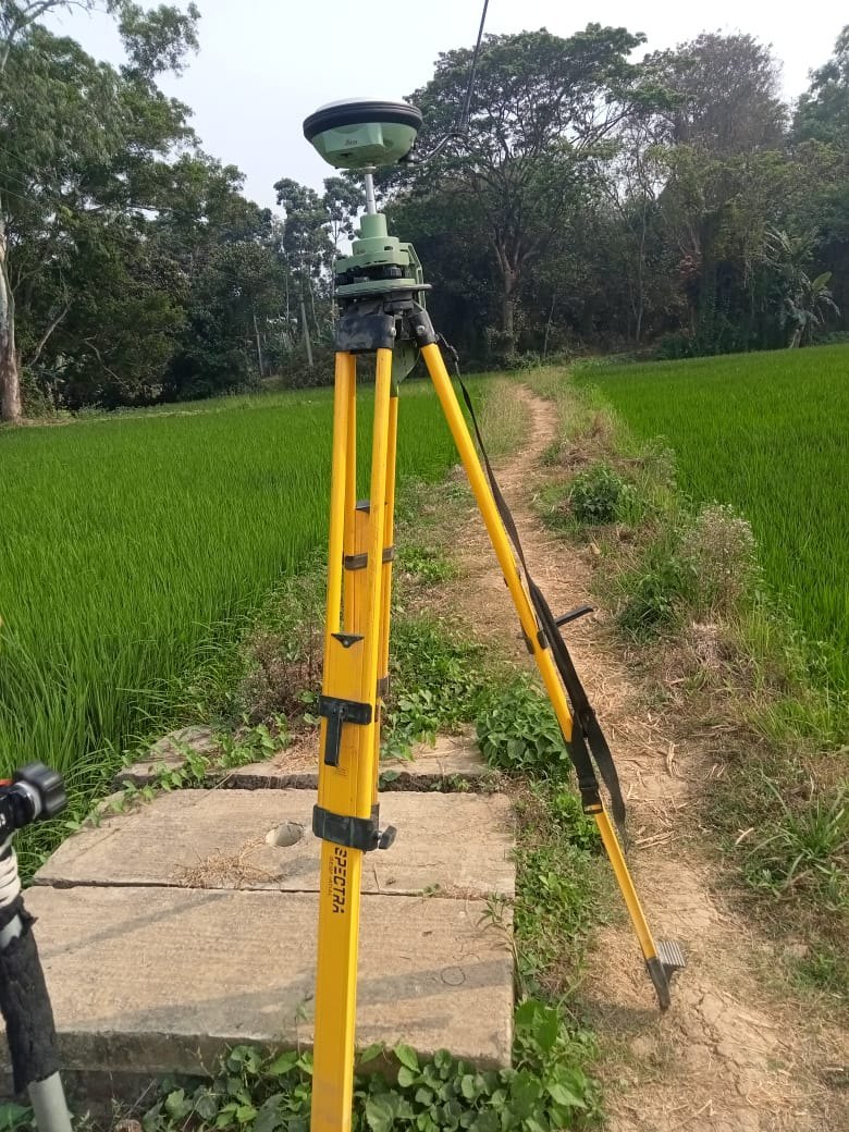
DGPS, RTK, topographic survey, route survey, geo-coordinate capture, and accurate field data collection for infrastructure projects.
Know More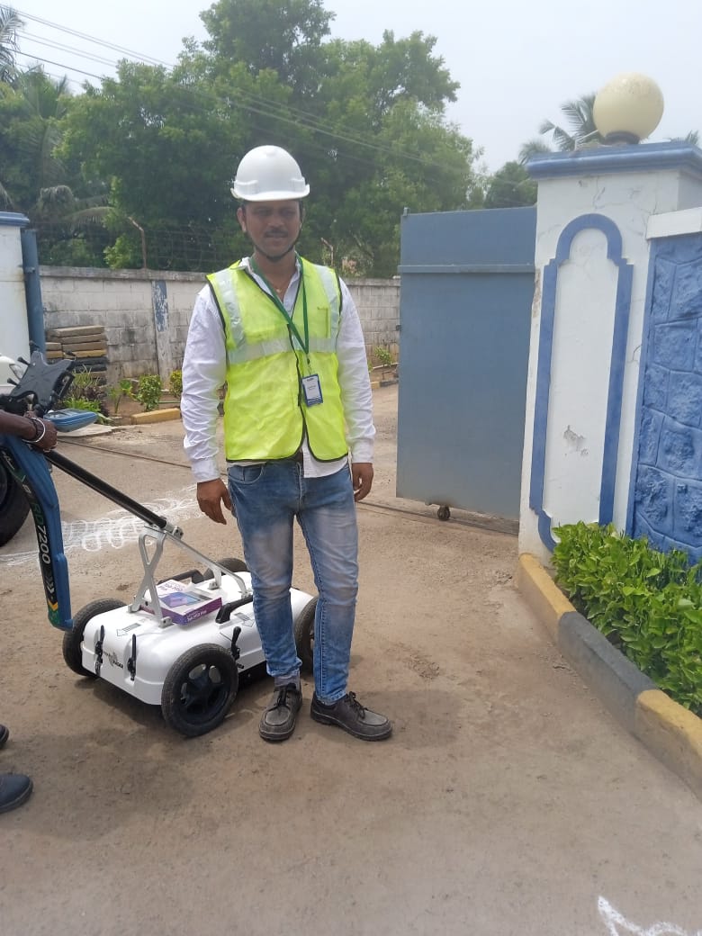
CAD drafting, as-built drawings, digitization, engineering layouts, utility plans, and mapping support for technical delivery.
Know More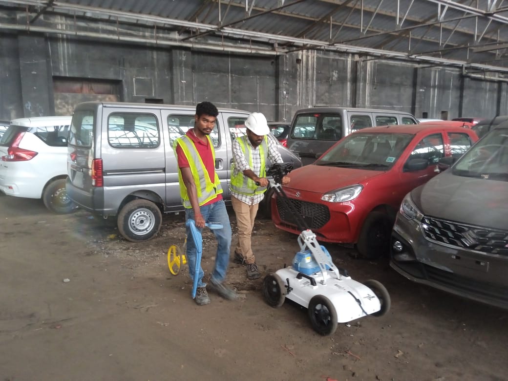
3D BIM solutions, digital modeling, coordination support, and smart planning workflows for infrastructure projects.
Know More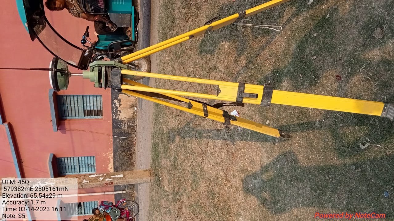
Water pipeline mapping, network analysis, utility data support, and GIS-based water infrastructure planning solutions.
Know More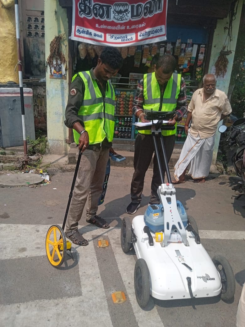
Ground Penetrating Radar survey for underground utility detection, route analysis, and safer excavation planning.
Know More
Website development, online software, GIS tools, dashboards, portals, and business technology solutions for modern operations.
Know More