We transform field data, utility information, and survey records into structured business-ready outputs.
We provide modern solutions in GIS, survey, CAD, BIM, software, and infrastructure support services.
Our team supports survey, mapping, asset modeling, and final delivery with accuracy and reliability.
We proudly work with top infrastructure, telecom, and energy companies.


We provide advanced survey, GIS, utility mapping, DGPS, GPR, gas pipeline support, telecom mapping, CAD solutions, BIM modeling, water network, and digital engineering services.
Field survey, GIS, utility engineering, IT, design, BIM, and network mapping solutions for modern projects.
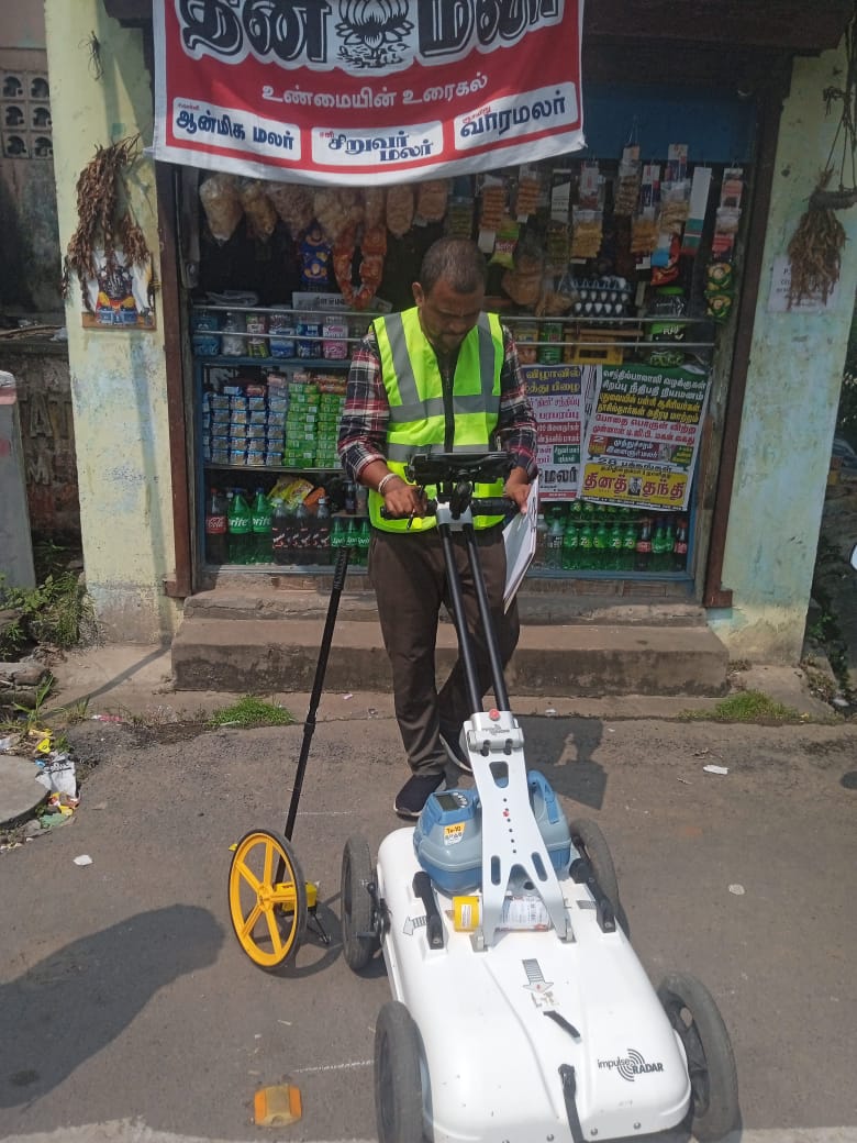
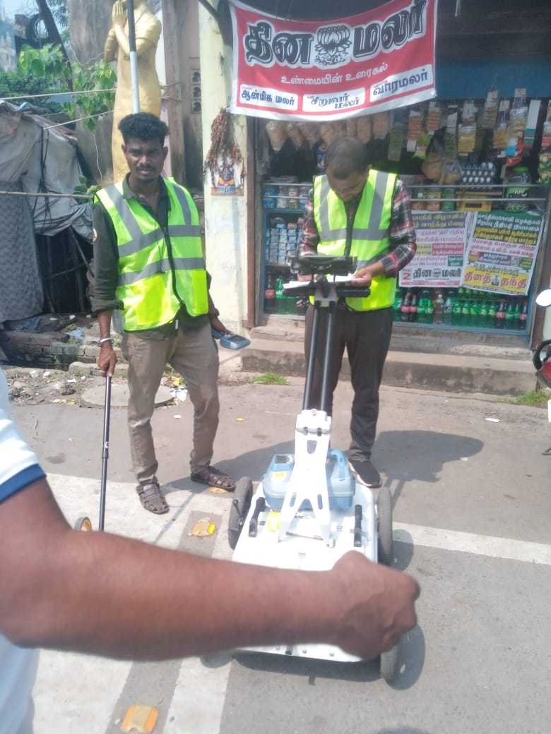
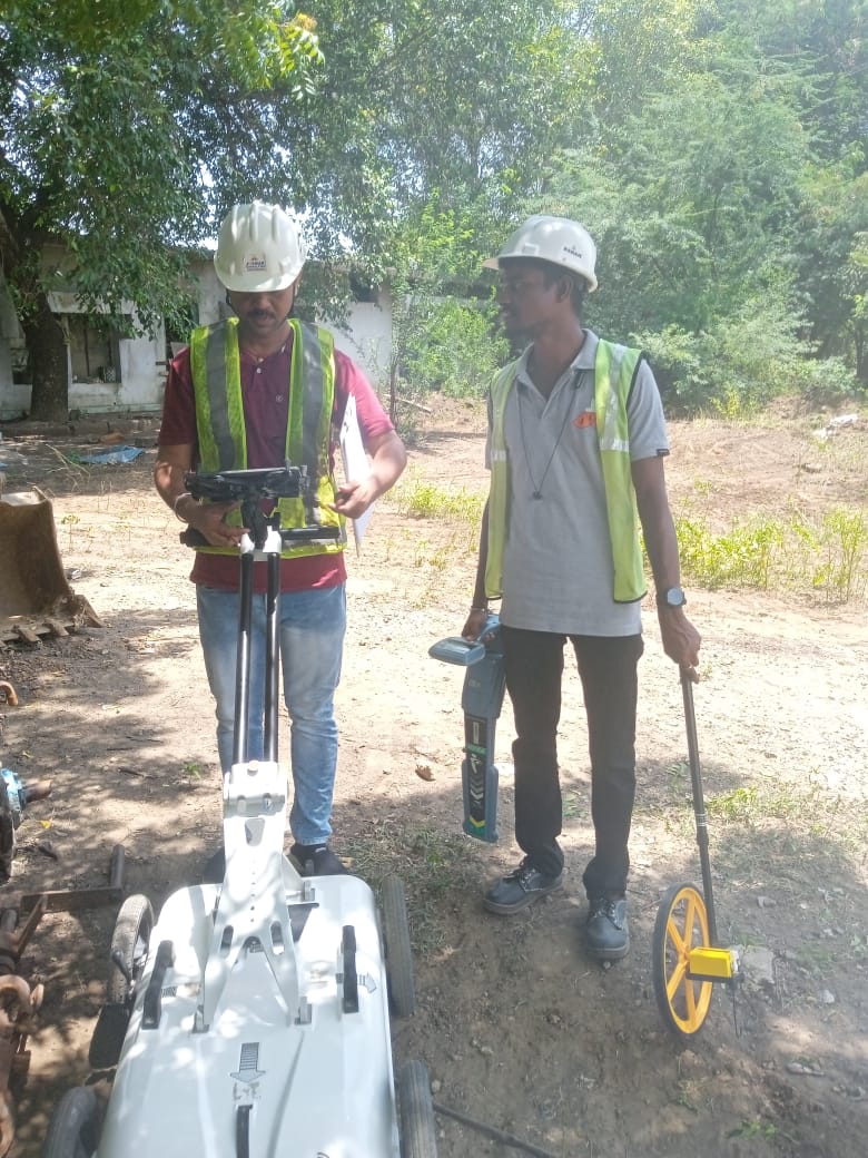
Underground utility detection, route safety, and depth-oriented field support.
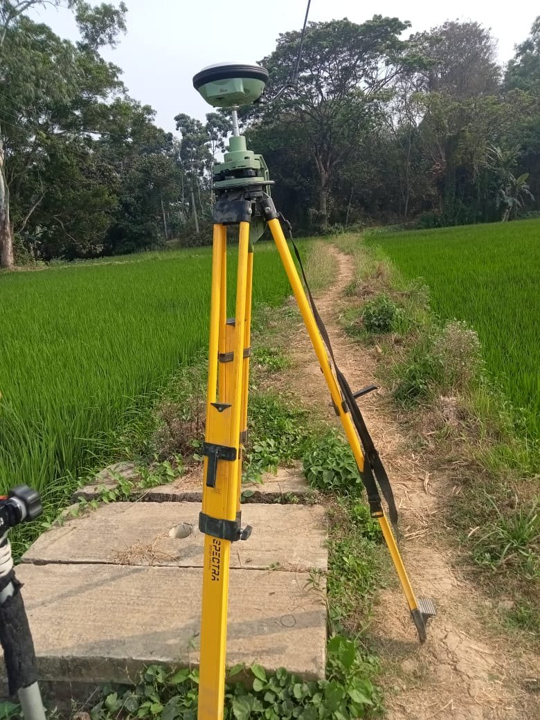
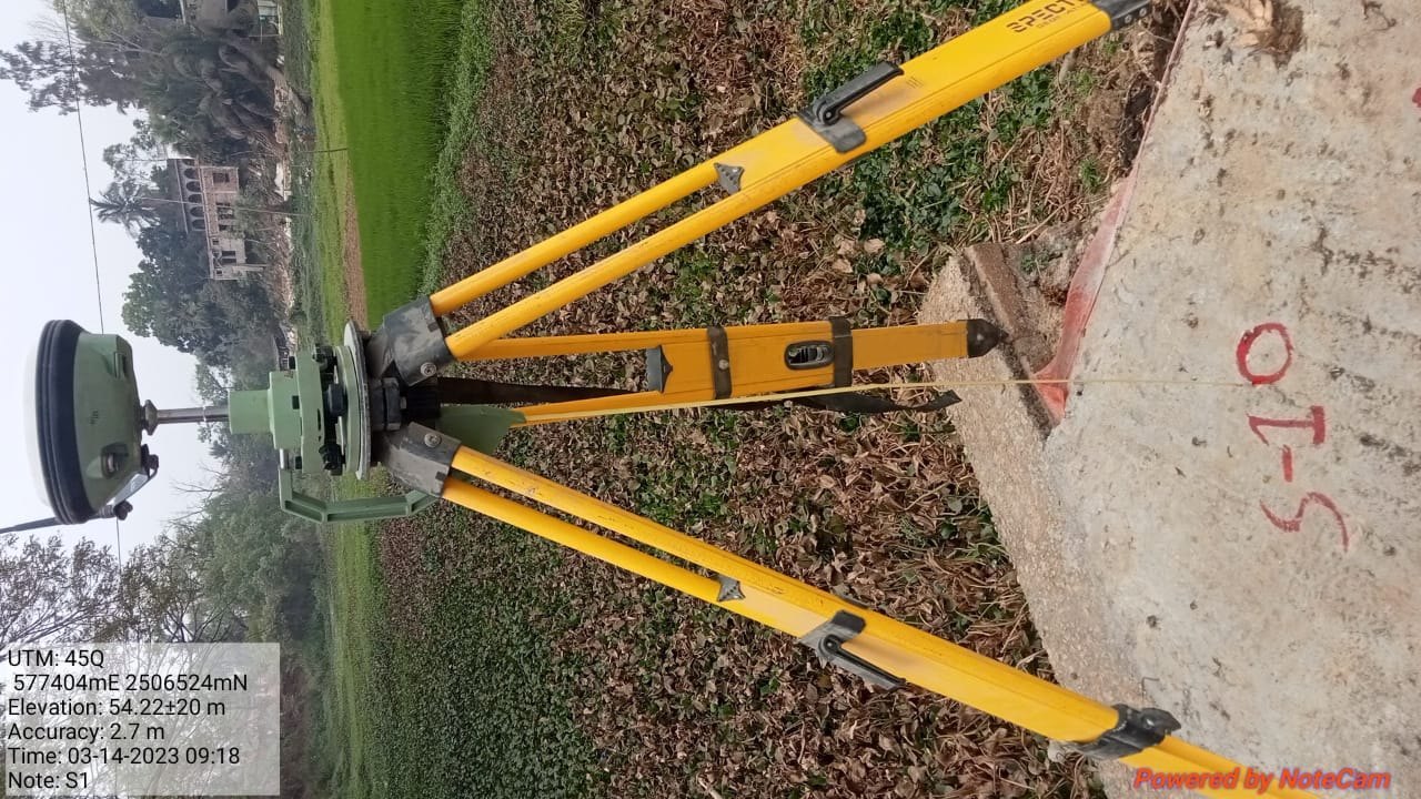
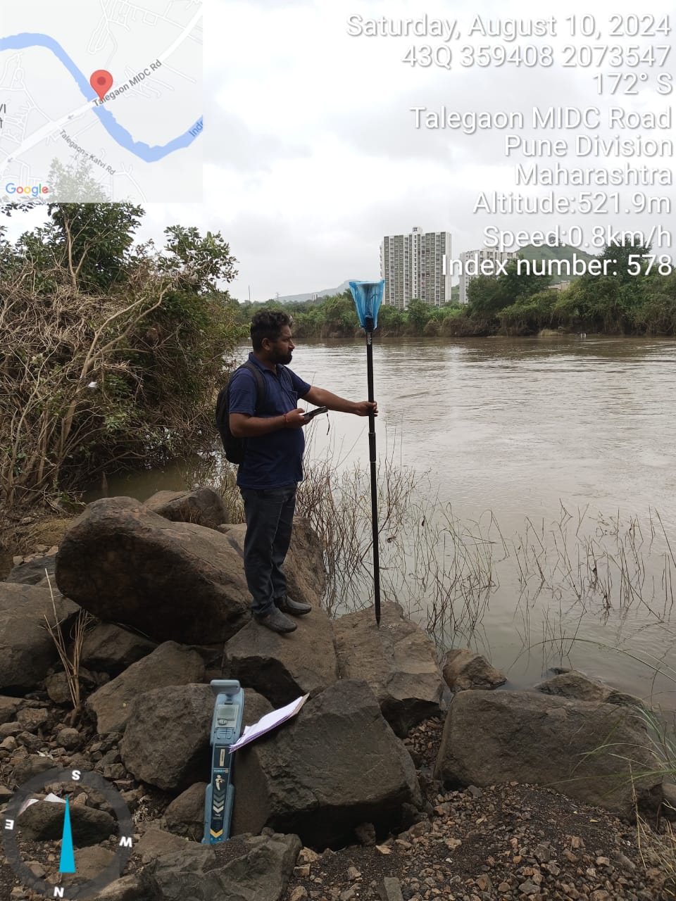
Accurate field control points, alignment, and geo-coordinate capture.
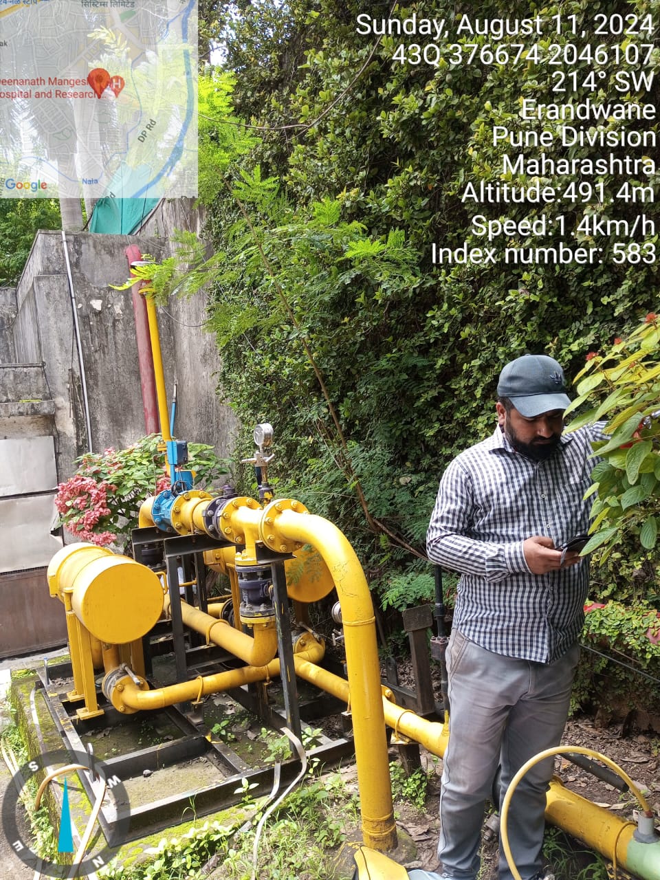
Utility asset mapping, landbase preparation, and structured digital delivery.
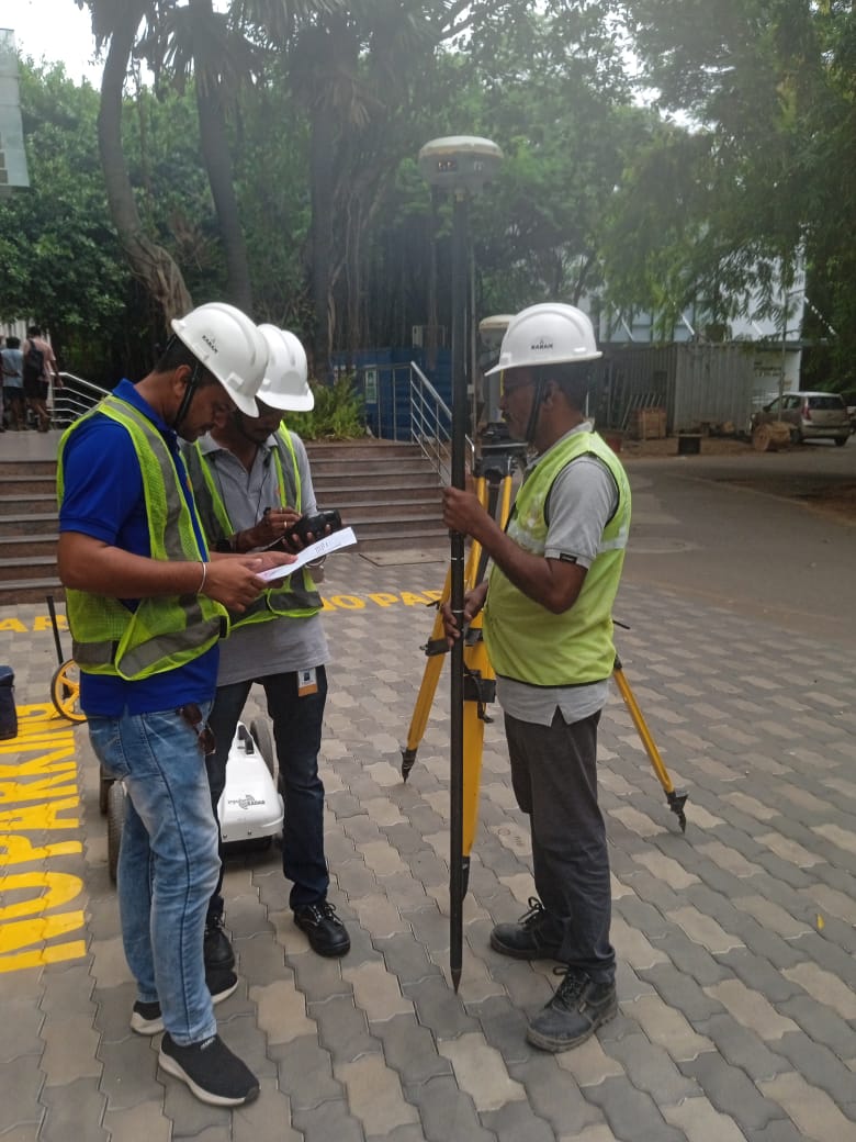
Gas pipeline survey, telecom network support, OFC and route mapping services.
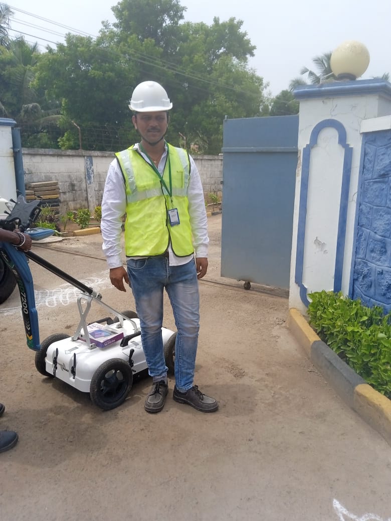
Drawing support, CAD conversion, as-built plans, and digital engineering workflows.
Websites, dashboards, GIS tools, online portals, and software solutions.
Trusted support for GIS, utility mapping, and survey work.
Excellent GIS mapping and survey support. Work quality and delivery were very professional.
Accurate field survey and dependable technical coordination. Strongly recommended.
Very good GPR and pipeline mapping team. Helpful for project planning and site execution.
Contact SAM Global Infra for utility mapping, GIS support, survey execution, pipeline mapping, and digital engineering services.
Get in Touch